Nepal Glacial Flash Flood 2026 and the Bihar-UP Gandak Basin Alert: Causes, Downstream Risk and Preparedness
A catastrophic GLOF in Nepal has triggered a 9-meter surge, putting Bihar and Uttar Pradesh on high alert as a secondary lake threatens the Gandak basin.
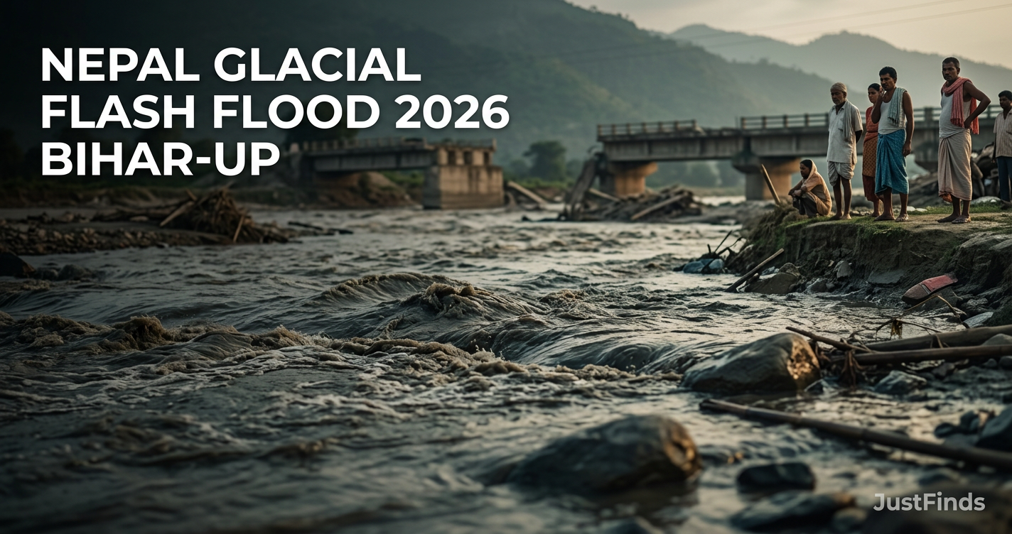
The Nepal glacial flash flood of August 2026 has sent a 9-meter wall of water through the Trishuli river system, forcing Bihar and Uttar Pradesh to issue emergency alerts for the Gandak basin. This surge originated in the Rasuwa district and has already caused between 165 and 359 deaths, with nearly 1,400 people still missing as of August 30.
Authorities are monitoring a secondary threat where a new, unstable lake has formed behind a debris dam in Nepal, risking a second deluge. For communities in Maharajganj, Kushinagar, and North Bihar, the arrival of this glacial pulse into monsoon-saturated river systems creates a critical scenario requiring immediate evacuation readiness.
1. Anatomy of the Rasuwa Disaster: What Triggered the August 2026 Surge?
The disaster began on the morning of August 26, 2026, when water levels in the Rasuwa district rose abruptly at 9:00 AM. Initial investigations point to a Glacial Lake Outburst Flood (GLOF) or a significant glacial collapse near the Nepal-China (Tibet) border. The physical evidence of the collapse is undeniable.
A 20-hectare debris fan at the Kheer Gad tributary confluence was completely eroded by the force of the initial surge. This massive shift in geography forced the river out of its modern channel and into an ancient, volatile path, accelerating the downstream destruction. This rerouting has made the landscape unpredictable, complicating current rescue efforts.
There is currently no consensus on the primary trigger. Some experts cite heavy rainfall in Tibet, while others investigate a localized seismic event. The formation of a new lake at the debris site remains the most pressing concern for emergency responders. Actionable Advice: Residents should monitor the Central Water Commission (CWC) hydrographs for the Gandak at Valmiki Nagar, as a sudden drop in water level often precedes a massive surge caused by a debris dam breach.
2. Downstream Path: From the Trishuli Surge to the Gandak Basin
The speed of this disaster was documented at Galchchi, where the Trishuli River rose by 9 meters in just 30 minutes. This surge is traveling through the Bhote Koshi and Trishuli systems, which feed the Narayani River in Nepal before crossing the border to become the Gandak River in India.
The confluence at Mugling, where the Marshyangdi river meets the Trishuli, acts as a primary tipping point. The volume of water added at this junction determines the severity of the flood hitting the Indian plains. Hydrologists are calculating the velocity and impact of this trans-boundary water flow.
Comparative Impact and Risk Zones - Nepal vs. India
| Region | Key Districts at Risk | Primary Threat Level | Infrastructure Vulnerability | | :--- | :--- | :--- | :--- | | Nepal (Rasuwa/Nuwakot) | Rasuwa, Nuwakot, Dhading | High: Immediate GLOF Impact | Hydro-projects, bridges, tourism hubs | | Nepal (Chitwan/Gorkha) | Chitwan, Gorkha | Medium-High: Secondary Deluge | Agricultural plains, wildlife reserves | | India (Bihar) | West Champaran, Gopalganj, Saran | High: Saturated Basin Flooding | Embankments, rural settlements | | India (Uttar Pradesh) | Maharajganj, Kushinagar | Medium-High: Riverbank Erosion | Road corridors, agricultural land |
3. The Human Toll: Search, Rescue, and the Nature of Injuries
The scale of the missing persons crisis has led to conflicting reports. While Business Standard reports over 300 Indian tourists missing, India Today places the number at over 100. Additionally, 517 foreigners, including 63 US citizens, are among the 1,400 people currently unaccounted for. Security forces have established a central database to reconcile these figures across international borders.
Medical teams on the ground are seeing injuries that differ from standard monsoon floods. Instead of traditional drowning, survivors present with impact trauma. The force of the debris-laden water caused broken rib cages, internal organ damage, and severe scalp avulsions. This suggests the water carried heavy boulders and timber at high velocity.
Rescue logistics are difficult due to the rugged terrain of Rasuwa. With roads washed away, the Nepal government has drafted private and military helicopters for air-only access. Real Example: In the 2021 Chamoli disaster, similar impact trauma was noted; medical teams in Bihar are now prepping trauma centers specifically for crush injuries rather than just water-borne illnesses.
4. Bihar and Uttar Pradesh: The Gandak Basin Alert
In India, the National Disaster Response Force (NDRF) has been deployed in high-alert corridors along the Gandak channel. The primary concern is that the GLOF pulse is arriving when the ground is already saturated from weeks of monsoon rain. The soil cannot absorb any of the surge, putting extreme pressure on existing embankments.
In Uttar Pradesh, the districts of Maharajganj and Kushinagar are under observation for riverbank erosion. In Bihar, thousands have already been evacuated from the border districts. The arrival of the 9-meter surge from Galchchi is expected to cause significant backwater effects in smaller tributaries, expanding the flood zone beyond the main riverbanks. Actionable Advice: If you are in West Champaran, move all grain stocks and legal documents to the second floor of concrete buildings or designated community flood shelters immediately.
5. The Growing Glacial Threat: A 2011–2026 Analysis
This disaster is part of a documented trend. Between 2011 and 2024, the total area of glacial lakes in India increased by 30.34%. This expansion correlates with the rising frequency of trans-boundary water disasters in the Himalayan region.
Currently, 56 glacial lakes are classified as very high risk. The 2026 Rasuwa event highlights the vulnerability of the entire Hindu Kush-Himalayan belt. As these lakes grow, the potential for outbursts that bypass traditional flood defenses increases, making historical flood data less reliable for modern emergency planning. Real Example: The South Lhonak Lake burst in 2023 proved that even monitored lakes can fail rapidly; the Rasuwa event confirms that unmonitored smaller lakes are equally dangerous.
6. Preparedness Protocol: Steps for Riverbank Communities
If you live within 10 kilometers of the Gandak River or its tributaries, follow these specific steps immediately:
- 1Monitor Official Channels: Subscribe to the official emergency SMS alerts activated by the Bihar and UP disaster management departments. Avoid unverified WhatsApp rumors.
- 2Identify High Ground: In Maharajganj and Kushinagar, local authorities have designated specific schools and government buildings as safe zones. Map your route before sunset.
- 3Secure Assets and Livestock: Farmers in the Bihar plains should move livestock to elevated platforms or 'bunds'. The Galchchi 9-meter rise provides a 6-to-12-hour early warning window for Indian districts; use this time to pack essential medicines.
- 4Avoid Water Contact: Due to the debris and high-impact nature of GLOF water, even shallow-looking flows can sweep away vehicles. Do not attempt to cross flooded roads.
7. Policy Shift: From Reactive Relief to Anticipatory Action
The 2026 disaster has exposed gaps in real-time hydrological data sharing between China, Nepal, and India. Experts are calling for a shift toward anticipatory protocols. This involves using satellite imagery and ground sensors to trigger evacuations before a lake actually bursts.
The UN has allocated $2 million from the Central Emergency Response Fund (CERF) to assist with immediate relief. However, industry experts argue that this money is better spent on integrated trans-boundary early warning systems. Without a unified data-sharing agreement, downstream communities in India will remain at a disadvantage when a GLOF occurs in the high Himalayas. Actionable Advice: Local panchayats should establish a 'human chain' communication system using battery-operated megaphones to ensure warnings reach those without cellular service during the surge.
Frequently asked questions
›What caused the Nepal flash flood on August 26, 2026?
The disaster was triggered by a suspected Glacial Lake Outburst Flood (GLOF) or a glacial collapse near the Nepal-China (Tibet) border. While heavy rainfall and seismic activity are being investigated as potential triggers, the event caused a massive 9-meter surge in the Trishuli River, devastating the Rasuwa district and threatening downstream areas in India.
›How fast did the water rise during the initial surge?
At Galchchi, the Trishuli River recorded a staggering rise of 9 meters in just 30 minutes. This rapid increase gave residents very little time to evacuate and contributed to the high number of missing persons and the severe nature of the impact injuries reported by medical teams in the region.
›Which Indian states are on high alert due to the Nepal flood?
Bihar and Uttar Pradesh are on high alert. Specifically, the Gandak River corridor is at risk, with districts like Maharajganj and Kushinagar in UP, and several North Bihar districts, being monitored. The National Disaster Response Force (NDRF) has been deployed to these areas to manage potential embankment breaches and evacuations.
›Why is there a risk of a second flood in the Gandak basin?
A new, unstable lake formed at the original flood site in Rasuwa due to debris blocking the river's path. If this temporary dam breaches, it will release a secondary deluge downstream. This makes the situation critical for Indian riverbank communities that are already dealing with monsoon-saturated soil.
›How many people are currently missing or dead?
Reports vary between sources; Al Jazeera reports 359 deaths, while Business Standard cites 165 in Nepal. Nearly 1,400 people are missing, including over 600 tourists. Among the missing are 517 foreigners, with 63 confirmed as US citizens, and over 100 to 300 Indian tourists depending on the reporting agency.
›What kind of injuries are survivors of the Rasuwa flood sustaining?
Survivors are suffering from high-impact trauma rather than typical drowning. Medical reports indicate severe injuries such as broken rib cages, internal organ damage, and scalp avulsions. This is due to the sheer force of the water, which carried heavy debris, boulders, and sediment from the glacial collapse.
›What makes the Gandak basin particularly vulnerable right now?
The river systems in Bihar and UP are already saturated from the ongoing monsoon. When a GLOF pulse hits a saturated basin, the ground cannot absorb the excess water, causing the surge to stay above ground and put extreme pressure on embankments, leading to higher risks of catastrophic breaches.
›How has the international community responded to the disaster?
The United Nations has allocated $2 million from the Central Emergency Response Fund (CERF) to support immediate relief efforts. This funding is being used to coordinate search and rescue, provide medical aid for impact injuries, and assist the Nepal government in maintaining the central database for missing foreigners.
›How many glacial lakes are considered 'high risk' in the Himalayas?
Currently, 56 glacial lakes in the region are classified as "very high risk" for potential outbursts. This follows a trend where the glacial lake area in India alone increased by 30.34% between 2011 and 2024, highlighting the growing threat of climate-induced flash floods in trans-boundary river systems.
›What should residents in the Gandak corridor do to prepare?
Residents should subscribe to official emergency SMS alerts and identify designated high-ground safe zones immediately. Farmers are advised to move livestock and essential assets to elevated areas. Because the Galchchi surge provides a 6-to-12-hour lead time, this window must be used for evacuation before the water reaches the border.
Sources referenced
- Nepal-Tibet floods updates: Over 360 dead ...
- From Rasuwa to Bihar: How Nepal's flash floods can travel ...
- Nepal Flood Bihar Alert: तिबेट-नेपाळ सीमेवरील हिमनदीचे ...
- The Economic Times
- Nepal Glacial Lake Burst Triggers Flash Floods, Over 100 ...
- IN THE NEWS. What happened along the Nepal–China ...
- Nepal's Himalayan flash flood became a downstream ...
- As Nepal Flood Wave Nears India, Experts Urge Faster ...
More in News
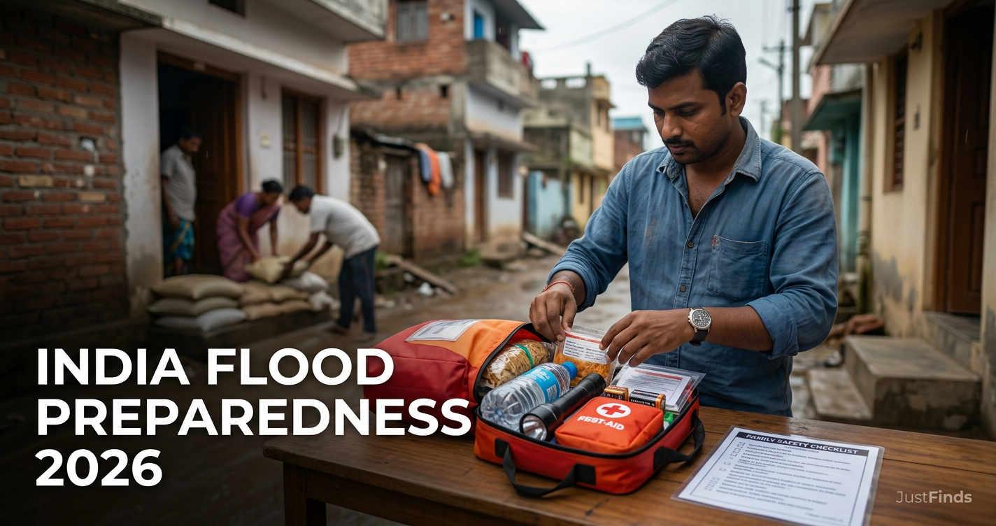
India Flood Preparedness 2026: State-Wise Alerts, Relief Helplines and a Practical Family Safety Checklist
Stay safe during the 2026 monsoon with our guide to India's new flood warning systems, state helplines, and a professional-grade home evacuation checklist.
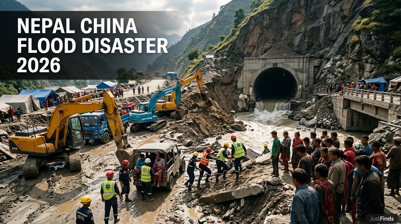
Nepal and China Flood Disaster 2026: Death Toll, Missing Count, Tunnel Rescue and Rebuilding Cost Explained
Massive glacial collapse in the Himalayas triggers a $5 billion disaster, leaving thousands missing and hundreds dead across Nepal and Tibet.
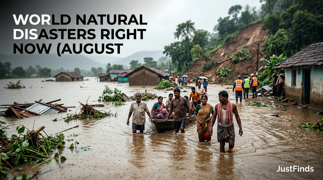
World Natural Disasters Right Now (August 2026): Live Flood, Landslide, and Storm Emergencies
Global emergencies peak in August 2026 with a massive Nepal glacial collapse, Cyclone Dolphin, and a 7.4 earthquake in Colombia as sea temperatures hit record highs.
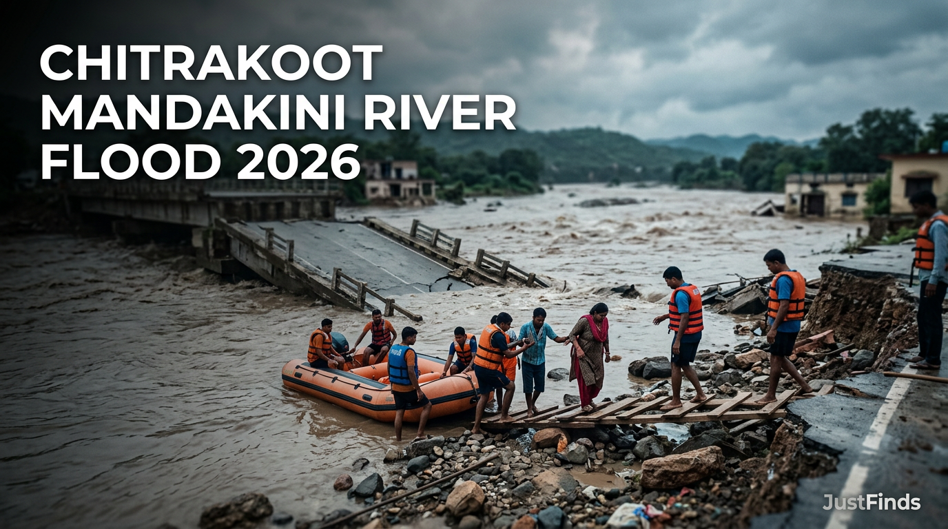
Chitrakoot Mandakini River Flood 2026: Bridge Washed Away and Rescue Updates
Mandakini River breaches 23-year record in Chitrakoot as Gorgi Dam failure washes away Ramghat bridge and triggers IAF-led rescue operations.